EPIC MTB TRAILS
The Coronet Loop trail NZ
Discover this outback experience, a great loop from Arrowtown around Coronet Peak…
This trail is 50km long and is a great loop out and back from Arrowtown
Mostly 4WD with some sections of narrower track its a spectacular escape from the Queenstown bustle and hustle!
Can be done in both directions although with 10-15 water crossings is better to get wet at the end by doing it clockwise.
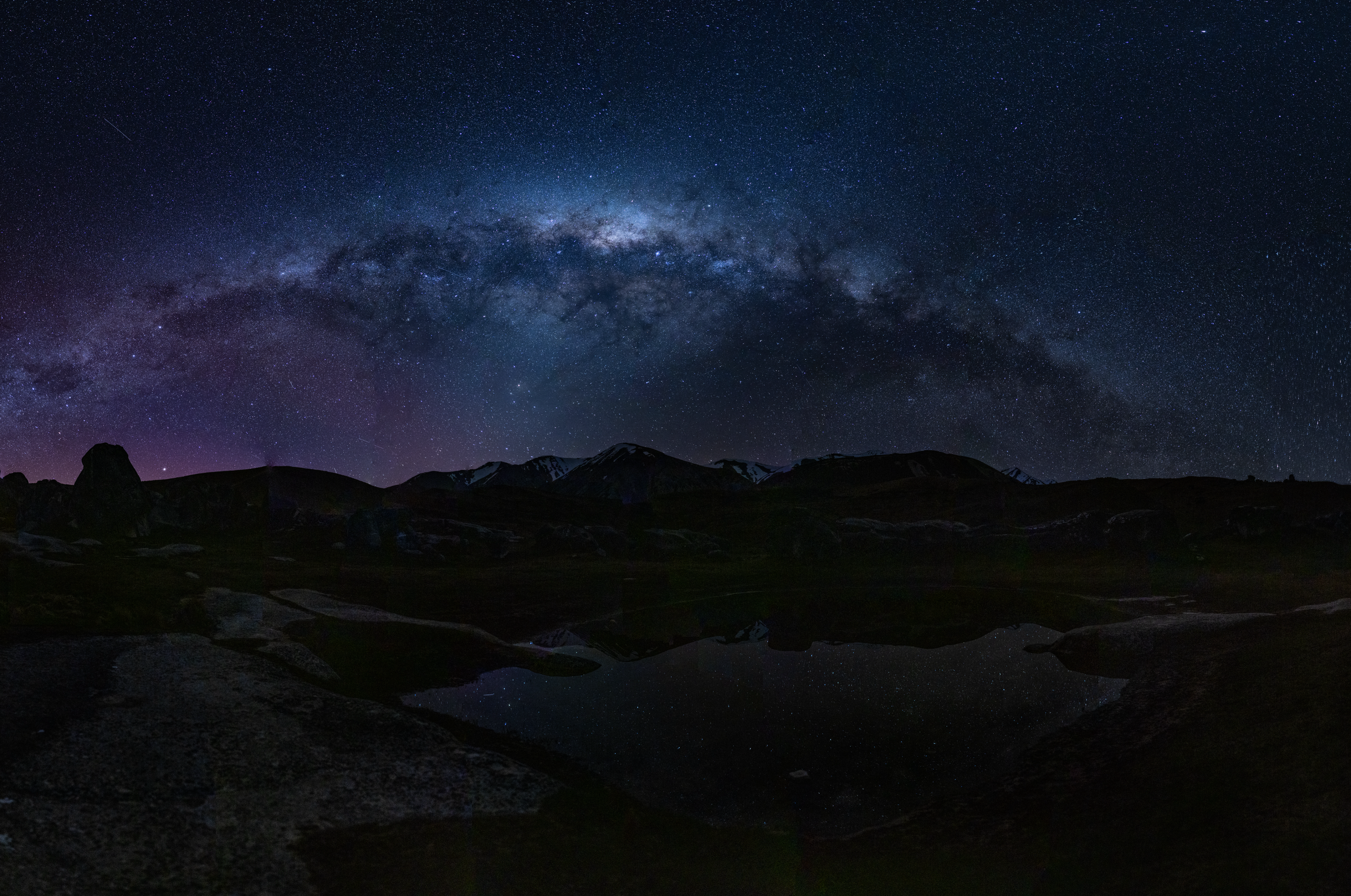
There are a couple of huts but not a lot of shelter along the way and is pretty exposed if the weather packs it in. Take good gear, and a PLB or locator beacon as it is a wee way to get help with no cell coverage in the back parts
Map courtesy Queenstown Trails Trust
Check out images below, and read my guide for some ideas about the trail first hand!
Introducing the Loop


Marty’s Guide
Cycling around the crown of Queenstown sounds pretty epic, and it sure is! Coronet Peak, named aptly for its resemblance to a coronet or crown, is mostly famous for the skifield taking it's name, until now, with this newish exciting trail…
The Coronet Loop is a 50 km back country trail that circumnavigates the Coronet Peak ski field, traversing diverse bush and back country land, all against a backdrop of jaw dropping rugged rocky ranges. While a lot of this trail is 4WD it’s a decent nudge to take this on, as you climb upwards of 1200m over the ride albeit not all at once! So, plan for 6+ hours if you’ve not got a battery attached to your bike yet, and a good 5 hours with some assistance, allowing for a few stops to take in the magnitude of where you are. Of course if you're 23 and fit biking all the time, you may well treat this as a training for 2-3 hours!
It can be ridden both ways, but clockwise feels the most natural and probably enables you to ride the most easily, and certainly if you do the river crossings they’re much better at the end of the ride.
Warnings
Pack the supplies and warm clothes and fuel for the human engine, as well as a Personal Locator Beacon PLB, just in case, as you’ll soon find yourself alone a long way from help!
If you're e biking, we've always duct taped the bottom of the battery and crank housing up fully and never had any issues with small amount of splash in the creeks. Anything deeper and we have carefully lifted the bottom bracket and all above the water line.
Getting started
Start your ride in Arrowtown, and follow the Bush Creek track towards Queenstown from the car park below the town. It ambles beside the river, before a few rude and steep switchbacks that get you up towards an open plateau. Don’t be put off by these, they’re done before you know it, but get off if you’re unsure before you do the ungraceful slow fall into the bushes when you lose traction! There’s a couple of sections to navigate and of course it is easier when dry.
Look out for walkers after all it was their track in the first place, and also the odd downhiller coming off the Coronet Peak road in the opposite direction!
Once on the plateau it opens up a bit, then some more bush before the vista expands 300 degrees looking over Queenstown. Compulsory stop here to savour the landscape. Highly likely to meet some local runners, walkers and dogs here.
Sidle for 3km around a relatively flat track, aptly called the Water Race trail, for obvious reasons, to the Coronet Peak road, punctuated by some little ups, and then some cool friendly switch backs to get to the road.
This is often where you’ll meet the masses, as it is the junction of several popular tracks, both for walkers and riders as well as the road. At this stage you have also done 450m of your climbing for the day so if you're a bit stuffed take this as some comfort! Plus you have also done the steepest stuff!
Leaving the masses behind
From here you have two choices, a custom built track Pack n Sack, or the old Skippers Rd downhill that I would recommend if not so sure of drops. At this point you are also likely to find yourself alone apart from one or two other groups for the next 35km! You take the Skippers Rd for about 500m up before tackling old school rocky downhill followed by sweeping single track to the bottom of the valley. All the rocks you can roll or go around pretty much just need to watch your front wheel until the flow starts!
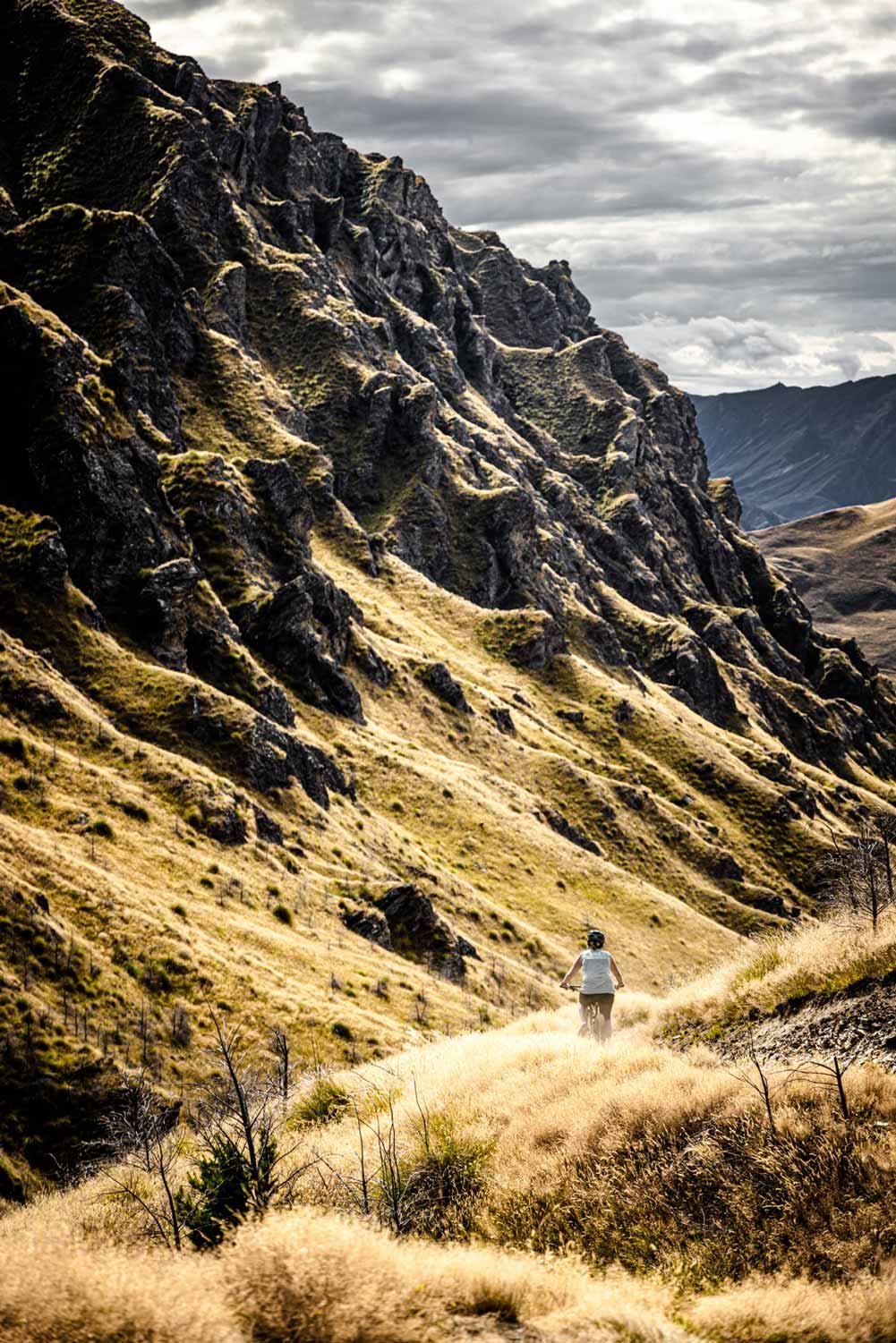
Switchbacks, flow and magestical views
The climb out of the valley to the Greengates saddle is a pretty friendly well bedded in track with long switchbacks a feature, and you’re there before you know it with a long speedy trail down towards the lovely little point that you sidle around to get to the Greengates Hut.
Stop for a photo of the hut from above, and your mate riding down to it, before you do this last little bit.
The hut is pretty much as it is, I think you would stay here if you got stuck but not by choice, but a good place to relax and refuel. There’s a bit of a pond, and a toilet, but no other water source.
Picnic Rock, Deep Creek and the Golden Terraces
Some more sidling and friendly long switchbacks backs eases your way from the hut towards the Picnic Rock. Make sure you look behind as you ascend and take in the incredible nuggety and rocky ridge.
After rolling down into Deep Creek, a few small creek crossings get you onto the trail that will ultimately get you up to the Golden Terraces and Easter Island, a rock that carries the resemblance of an Easter Island statue. Again a good place for fuel, and posing on the rock. For best photos have someone stay behind as you approach the rock so they can capture the drop off below!
Gradual climbing through tussock will get you eventually to the Eight Mile saddle and if there is any part of the trail that drags on, this is it. Each corner feels like it is the last, the track is a little softer, but just as you've stopped thinking about it you'll be cresting the high point!
All down from here…
Flowing easy downhill greets you with open arms with the odd little flattish interlude as you head down to the river which is still a long way down. There are 2-3 sections to this, all the time getting you closer to the valley below.
Eight Mile Hut marks the spot to lie in the sun or take a bit of fuel in before the last push to the river and into Arrowtown. You can take on more water crossings from here if you want to visit the quaint mining area of Macetown, a couple of kms up the river.
Just as you hit the river, there is a very short vertically challenging drop off beside the track so walk that if you're not so confident with that sort of stuff! All of 10 metres to navigate!
Onwards along the Macetown Road, watch for utes with raised suspension and roof top tents trialling their vehicles through the 30+ river crossings to Macetown. Don't be surprised to come across them travelling in groups, so stay focussed!
One last downhill section takes you to the Arrow river and it is here you'll need to brace yourself for 5-6, to 7 river crossings, 10-20m wide, mostly no more than thigh deep at the most and generally around your calves!
For those not keen on wading, take the high water track across the bridge on your right. Once over the bridge, there's an unfriendly flight of steps to lift your bike up, before you can keep your powder and feet dry into Arrowtown.
You'll know you've been on an adventure, whether a battery has helped you or not, and I'm sure you will reflect on some unforgettable vistas of back country Aotearoa.
Rides+

Discover the West Coast and all its beauty
Wilderness Trail
A really accessible ride for all, on mostly 4WD tracks and plenty of scope to do in stages

A trail of changing landscapes
Heaphy Track
Hard to get to but worth all the effort to transfer your car from one end to the other… take a few days to soak in the amazingness!

The ‘original’ Rail Trail
Central Otago Rail Trail
This was NZ’s first Rail trail trip, and still remains a great easy access ride.